In today’s built environment, accuracy is only part of the story. As laser scanning and BIM technologies have become mainstream, many companies can now capture point clouds and generate 3D models. Yet the real difference lies not just in what is captured, but how that data is interpreted, refined, and shared.
At Platinum 3D Consultants, digital information is transformed into actionable intelligence. By combining measured building surveys, laser scanning, BIM-ready Revit models, and Matterport virtual tours, the company turns raw spatial data into a foundation for collaboration, performance, and long-term value.
This is where precision meets purpose — and where Platinum 3D’s expertise brings measurable real-world benefits for every stakeholder, from architects and developers to facilities managers and estate teams.
Why Precision Alone Isn’t Enough Without Interpretation
Laser scanning provides an extraordinary level of detail, capturing millions of points per second to form a precise digital snapshot of a building or site. However, data alone cannot solve problems. Without interpretation, even the most accurate point cloud risks becoming just another file on a hard drive.
That’s why Platinum 3D takes the process further. Every project is supported by specialists who understand both surveying technology and building performance. Instead of handing over raw data, the team creates structured information that’s directly usable in the real world — from 2D floor plans and elevation drawings to intelligent Revit models that support full Building Information Modelling (BIM) workflows.
This blend of technical accuracy and applied knowledge ensures that each deliverable does more than document space — it informs design, planning, and decision-making with confidence.
Turning Scans into Intelligence with In-House Revit Expertise
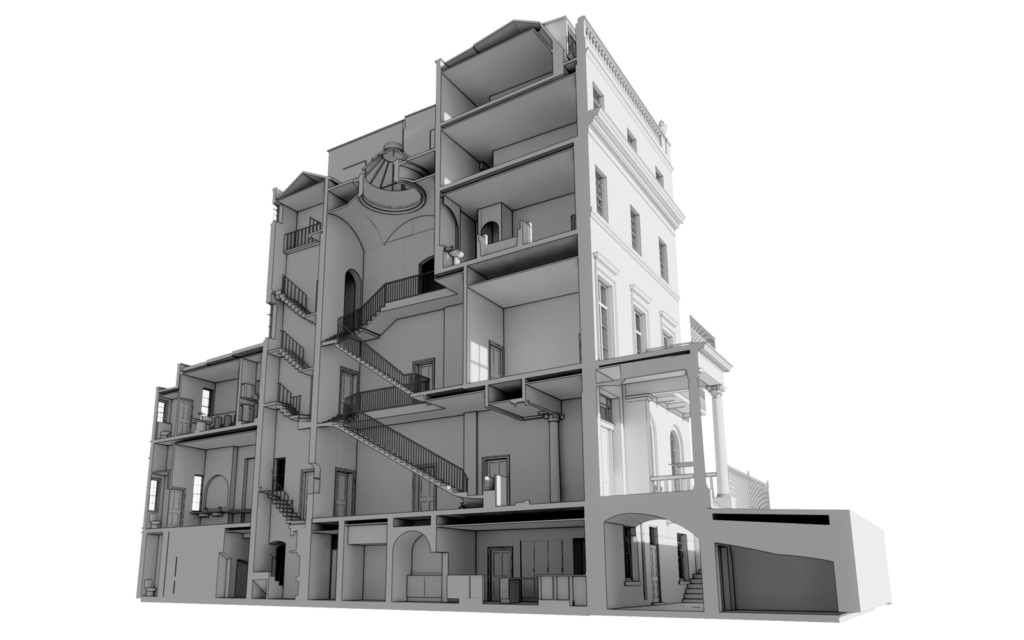
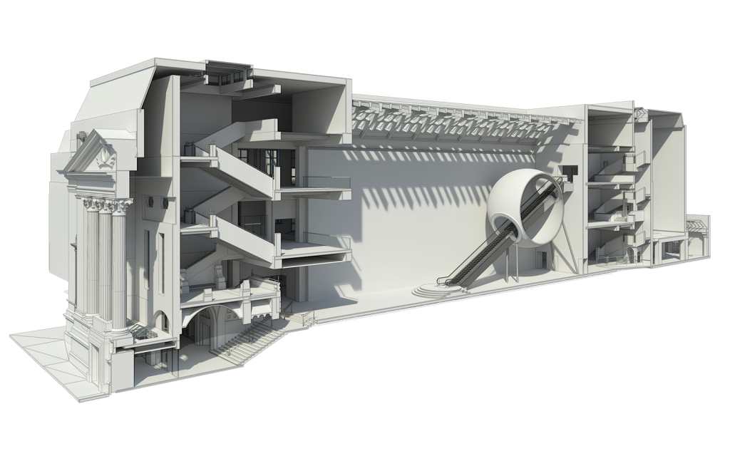
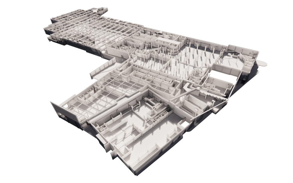
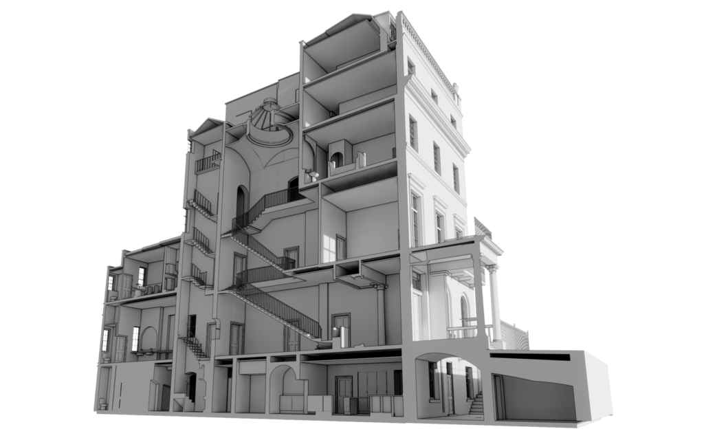
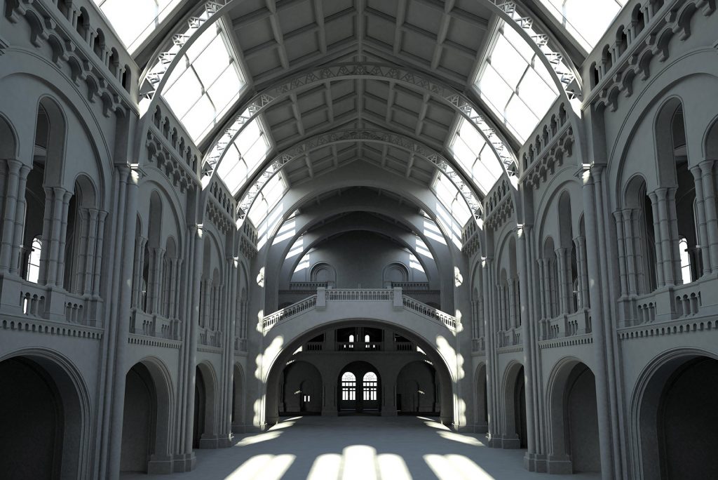
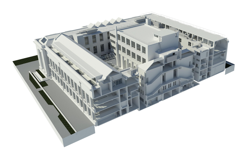
Where many survey providers stop at data delivery, Platinum 3D continues to add value. Its in-house Revit team transforms point cloud data into BIM-ready 3D models that combine precision geometry with rich information about materials, structures, and services.
This process, often referred to as Scan to BIM, bridges the gap between the physical and digital environments. It allows architects and engineers to work within a coordinated, data-driven model that reflects real-world conditions, helping to identify design clashes, test scenarios, and plan interventions accurately.
Unlike outsourcing or automated conversion services, Platinum 3D’s Revit modellers work closely with surveyors throughout the project lifecycle. The result is an intelligent model that balances technical fidelity with practical usability — ensuring it fits seamlessly into clients’ design and management workflows.

The Synergy Between Measured Surveys, BIM and Virtual Tours
One of Platinum 3D’s key strengths is its ability to integrate multiple technologies into a single, coherent workflow.
- Measured building surveys establish verified baselines with millimetre-level accuracy.
- Laser scanning captures the complete geometry of internal and external environments.
- BIM modelling translates that data into usable, intelligent 3D systems.
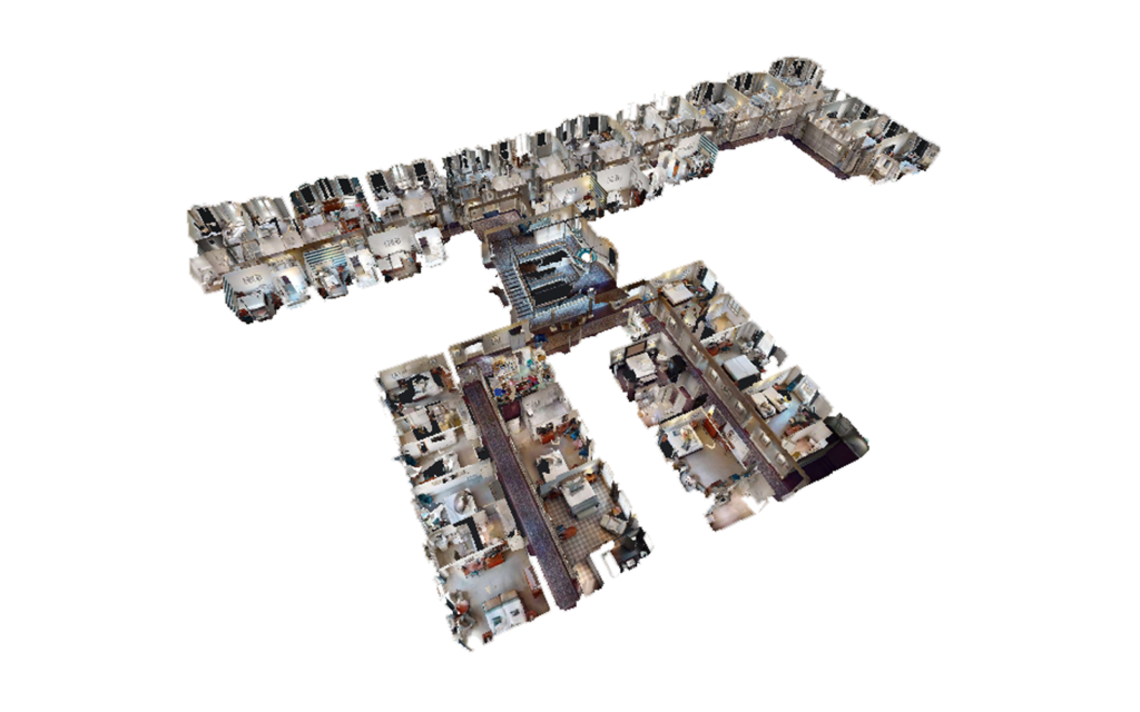
- Matterport virtual tours provide immersive, interactive visualisations for non-technical stakeholders.
Together, these tools eliminate gaps between disciplines. For example, architects can use Revit models for detailed design work, while clients and facilities managers can explore the same space virtually via Matterport. Contractors, planners, and consultants all see consistent, verified information, reducing the risk of misunderstanding or duplication.
This synergy is especially powerful for multi-phase redevelopments, heritage restoration, and large campus sites, where the ability to align visual and geometric data saves both time and money.
Reducing Cost, Carbon and Confusion on Site
Accurate 3D data does more than streamline design — it directly improves sustainability and cost efficiency.
By eliminating guesswork and minimising rework, Platinum 3D’s services help project teams reduce waste and avoid unnecessary site visits. Digital models make it possible to coordinate trades remotely, check design fit, and verify progress against the original conditions, all without the need for constant re-surveying or physical access.
This not only reduces travel and associated emissions, but also shortens project timescales and improves health and safety outcomes. In refurbishment and retrofit projects, particularly where existing conditions are complex or undocumented, laser scanning ensures that every design decision is made with clarity rather than assumption.
The result is smarter resource use, lower carbon impact, and greater confidence across every stage of delivery.
Case Insights: When Integrated Delivery Improves Design Outcomes
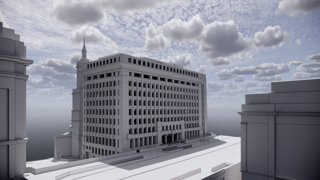
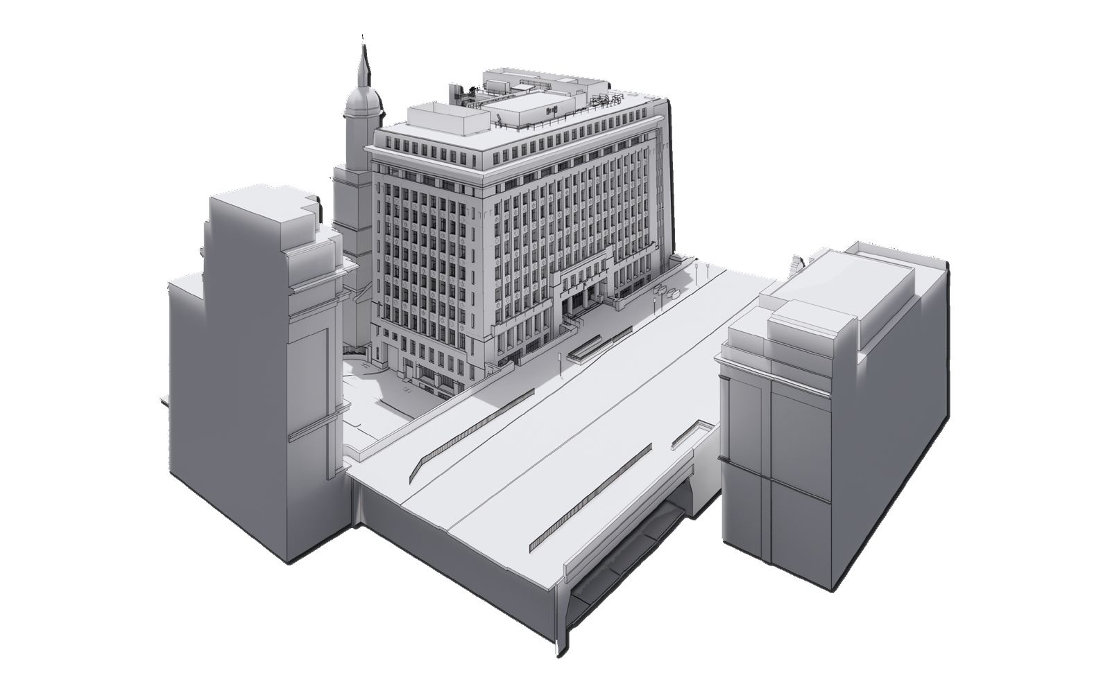
A clear example of this integration in action can be seen at Adelaide House, one of London’s earliest skyscrapers. Platinum 3D’s team carried out a comprehensive laser scan survey and produced an LOD3 Revit model, incorporating the building’s distinctive Crittall windows, tapered walls, and intricate detailing.
Because the model was built on verified point cloud data, the architects were able to plan the restoration of the Grade II listed structure with full confidence in its geometry — ensuring heritage accuracy while modernising its interior for 21st-century use.
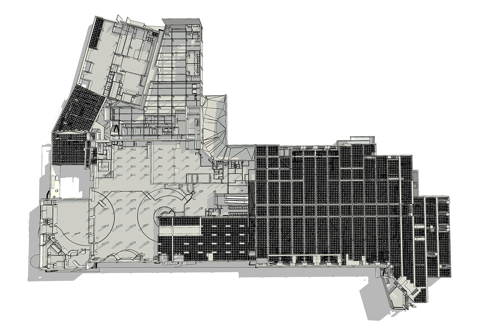
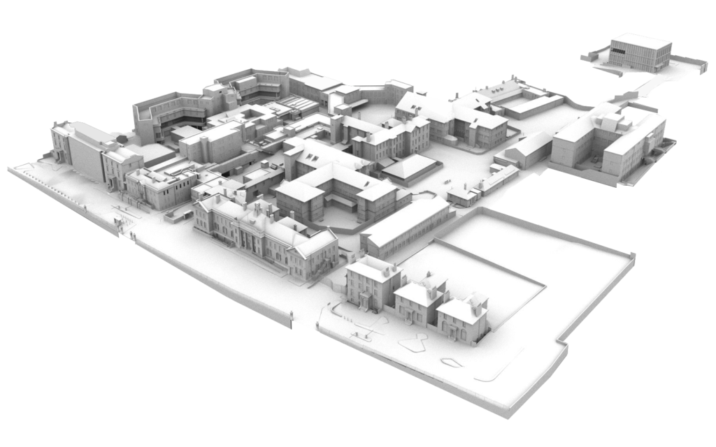
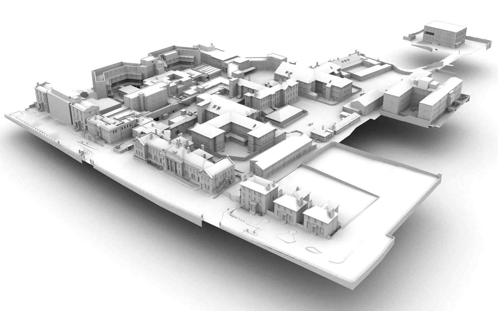
Similarly, at London Metropolitan University, Platinum 3D surveyed 17 buildings to create geo-referenced digital models across the entire estate. This single, consistent dataset now supports both ongoing refurbishment projects and facilities management, giving the university a digital record that evolves with the site.
In both cases, the value went far beyond data capture. The integrated workflow created an enduring resource — one that improves not only design and construction, but also long-term building operation.
Who Benefits from This Integrated Approach
- Architects and Designers: Gain a precise, editable digital foundation for concept development and coordination.
- Developers and Project Managers: Use accurate data to de-risk investment and ensure deliverables align with real-world conditions.
- Contractors: Reduce on-site uncertainty, rework, and delays through verified geometry and digital collaboration.
- Facilities Managers: Maintain and adapt buildings using a detailed, accessible digital twin.
- Public Sector and Heritage Clients: Protect valuable assets with measured information that supports conservation and compliance.
Real-World Value, Digitally Delivered
In an era where construction and property decisions rely increasingly on data, Platinum 3D Consultants has built its reputation on transforming precision into purpose. The company’s ability to integrate laser scanning, measured surveys, BIM modelling, and Matterport virtual tours creates not just accuracy, but insight — helping teams make informed decisions that save time, cost, and carbon.
Whether you are managing a listed building, planning a redevelopment, or overseeing a large campus estate, the right data can make all the difference.
Contact Platinum 3D Consultants today to discover how intelligent 3D data can help you plan, design, and manage with greater confidence.