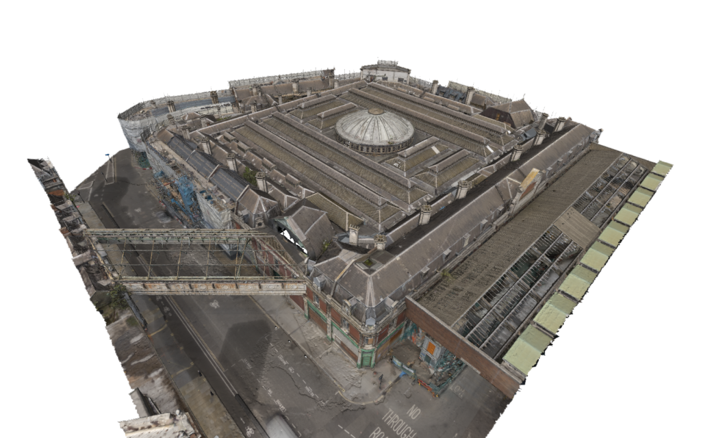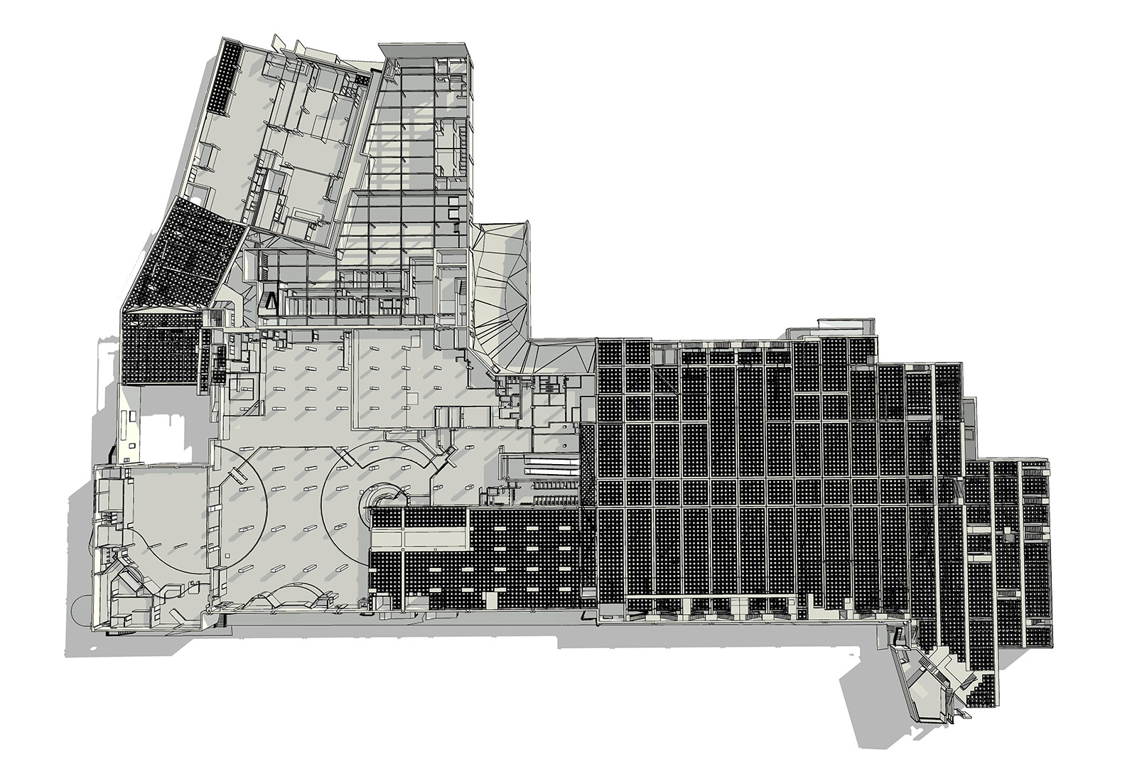
Every renovation, redevelopment or estate upgrade project begins with one crucial requirement – knowing exactly what already exists. From heritage landmarks and university estates to sports venues and shopping centres, every client faces the same challenge: how to capture, understand and communicate the reality of their built environment.
At Platinum 3D Consultants, that challenge is met with precision, innovation, and over two decades of experience. By combining laser scanning, measured building surveys, BIM-ready Revit models, and geo-referenced datasets, the company provides clients with an accurate digital foundation for confident decision-making, collaboration, and long-term management.
The following projects show how these technologies come together to deliver real-world value across very different types of sites.
Capturing Complexity at the Natural History Museum
The Natural History Museum in London is not only one of the world’s most recognisable buildings, but also one of the most technically challenging estates to survey. Platinum 3D Consultants carried out a detailed 3D survey and created LOD3 Revit models for multiple areas across the site, including laboratories and plant rooms packed with complex services such as piping, ducting, lighting, switches, and sockets.
By establishing permanent survey control and ensuring every model was geo-referenced within a single coordinate system, Platinum 3D enabled the museum’s teams to link all models into one unified master project. This approach supported the museum’s long-term digital strategy, integrating Building Information Modelling (BIM) as a tool for collaboration, maintenance, and design coordination.
For a client managing a Grade I listed building filled with sensitive scientific infrastructure, that combination of accuracy, accessibility, and digital integration proved essential for sustainable estate management.
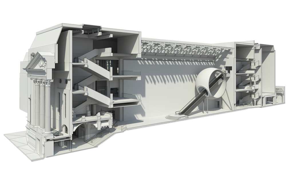
Broadwalk Shopping Centre – Informed Redevelopment from the Ground Up
When developers acquired the Broadwalk Shopping Centre in Bristol, they needed a clear understanding of the existing site before any demolition or redevelopment work could begin. Built in the 1970s, the building had complex additions and sub-levels that required comprehensive documentation.
Platinum 3D Consultants provided a measured survey of the entire site, producing 2D plans of the shopping centre, bingo hall, snooker hall, basement and car park. After seeing the level of precision and coverage provided, the client commissioned a 3D Revit model of the basement area — which was to be partially retained in the new design.
Because the entire site had been laser scanned at the start, the additional model could be created directly from existing point cloud data, avoiding the need for any return visits. This demonstrates how accurate 3D scanning not only saves time and cost, but also gives developers the flexibility to make new decisions confidently throughout a project’s life.
Documenting an Icon – London Stadium
Few structures demand the scale of documentation required for the London Stadium in Stratford. Originally built for the 2012 Olympic Games and now home to West Ham United, the multi-use stadium required comprehensive digital documentation for ongoing redevelopment and facility management.
Platinum 3D deployed the latest Leica RTC360, P20 and P40 scanners, completing over 1,500 scans and capturing more than 12 billion data points. The resulting point cloud data was converted into a Leica LGS file, enabling the client to review and interrogate the 3D environment in Jetstream and TruView.
For a structure of this size and complexity, accuracy and data clarity were critical. The laser scanning process allowed every seat, beam, and walkway to be digitally represented — ensuring that future design, maintenance, and safety upgrades could be planned with confidence and minimal disruption.
Adelaide House – Bringing a Listed Landmark into the Digital Age
Adelaide House, next to London Bridge, is a Grade II listed building and one of London’s earliest skyscrapers. Its renovation required preserving the historic exterior while updating the interior for modern occupiers — a balance between conservation and innovation.
Platinum 3D conducted a comprehensive laser scan survey, including the building’s lift shafts, service passages, and its connection with London Bridge. The data was processed into an accurate registered point cloud — the foundation for a Scan to BIM workflow.
The company’s modellers created an LOD3 Revit model of the entire building and LOD2 models of surrounding structures for planning context. Unique features such as Crittall windows were modelled using Platinum 3D’s extensive library of parametric families, while the building’s subtly tapered walls were recreated using custom sloped profiles.
This level of precision supports not only the architects and engineers involved in the restoration, but also planning officers and conservation specialists who rely on verifiable, geometrically correct data to approve changes to heritage assets.
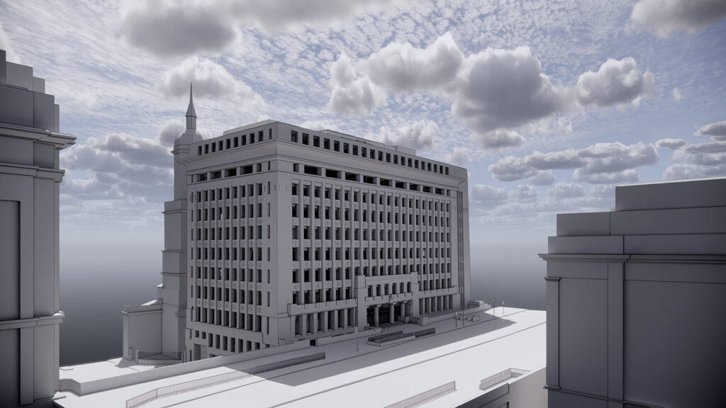
London Metropolitan University – A Digital Estate for Smarter Management
At the London Metropolitan University campus in Islington, Platinum 3D carried out a 3D survey of 17 buildings, generating more than 5,000 scans. The survey was completed largely overnight to minimise disruption to students and staff.
Using this data, the in-house team created detailed LOD3 Revit models of each building. Every model was geo-referenced, allowing the entire estate to be connected into a single digital master model.
Working alongside CBRE and the university’s infrastructure and maintenance teams, the models are now being used to support both design and facilities management (FM). Accurate, centralised data is allowing the university to plan upgrades, coordinate refurbishment projects and manage spaces more efficiently — a practical demonstration of how BIM and laser scanning can transform the long-term performance of large estates.
A Connected Process That Delivers Value from Start to Finish
Across all these projects — from museum collections and listed buildings to stadiums, shopping centres and university estates — one thing is clear: the value of integrated digital surveying lies in its versatility.
- Laser scanning provides fast, non-contact accuracy, capturing every surface and feature.
- Measured building surveys turn that data into reliable drawings and plans for early design.
- BIM-ready Revit models enable collaboration, clash detection, and digital asset management.
- Geo-referencing ensures that all information fits seamlessly into a wider estate context.
By offering this full suite of services, Platinum 3D Consultants removes uncertainty, reduces risk, and creates a common digital language for architects, developers, planners, contractors, and facilities managers alike.
Turning Complexity into Clarity
Whether it’s an intricate heritage restoration, a full campus upgrade, or the redevelopment of an urban site, every project benefits from knowing exactly what’s on the ground before work begins.
Platinum 3D Consultants’ integrated approach — combining 3D laser scanning, measured building surveys, and BIM modelling — transforms that knowledge into a reliable digital foundation for success.
If your next project demands clarity, precision, and collaboration from day one, contact Platinum 3D Consultants to discover how expert 3D data capture can make every decision easier, faster, and more accurate.