
Laser Scanning
What is Laser Scanning?
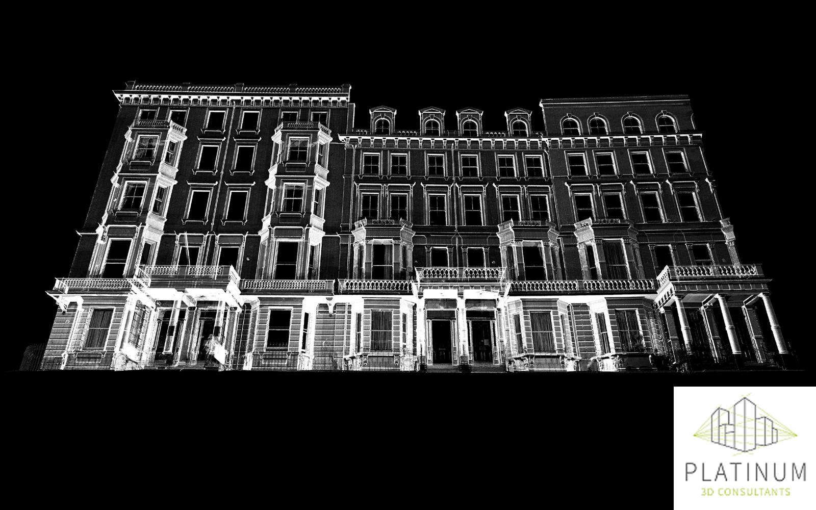
We primarily use laser scanning to survey buildings. Laser scanning provides an efficient method to accurately and comprehensively map existing environments, offering a cost-effective solution by minimising on-site time and eliminating the need for return visits. Our advanced 3D scanners can collect up to 2 million data points per second with a point density of up to 3mm at 10m.
How can laser scanning benefit clients?
The point cloud data collected through laser scanning can be utilised in various ways, including:
- Comparing as-built objects with virtual 3D models for clash detection.
- Recording the progress of construction projects.
- Creating virtual models for off-site facilities management.
- Providing accurate data for the creation of detailed BIM models or precise 2D drawings.
- Documenting heritage sites.
The benefits over more traditional measuring methods includes:
- Speed and Efficiency: Laser scanning significantly reduces the amount of time needed on-site. Traditional surveying methods can be time-consuming and often require multiple visits to capture all necessary data. In contrast, laser scanning quickly collects comprehensive data in a single visit, saving both time and resources.
- Accuracy and Detail: The high-density point clouds generated by laser scanning provide an unprecedented level of detail and accuracy. This level of precision is crucial for creating reliable 3D models and 2D drawings, ensuring that all measurements are exact.
- Versatility: Laser scanning is versatile and can be used in a variety of applications. From architecture and construction to heritage conservation and industrial engineering, laser scanning provides valuable insights that enhance the accuracy and efficiency of projects.
- Non-Intrusive: Laser scanning is a non-intrusive method of data collection. This means that it can be used in sensitive or hard-to-reach areas without disturbing the existing environment. This is particularly useful in heritage conservation projects where preserving the integrity of the site is paramount


Why Platinum 3D Consultants?
Put simply, our extensive experience and use of cutting-edge technology. Our team has been using laser scanners and working with point cloud data since 2002, making us one of the most experienced in the field. Over the years, we have continuously invested in the latest laser scanning technology and software to ensure that we provide the most accurate and reliable data possible. Our experience and understanding of the importance of survey control and using the right tools for the project, plus our commitment to staying at the forefront of technological advancements allows us to deliver high-quality results for our clients.
Using the Right Tools for the Project
There are many laser scanning or reality capture tools on the market each with their own functionality and designed with specific applications and it’s important to use the right tool for each project. Our team have been laser scanning since 2002 starting with the HDS 2400. Technology and techniques have advanced significantly since then. We now use Leica scanning systems, predominantly the Leica P series (survey grade data) and Leica RTC360. In our expert opinion, these are the best (Leica) laser scanners for capturing the level of accuracy and detail required for LOD3 and LOD4 models. The dense point cloud captured by the RTC360 (2 million points per second and up to 3mm at 10m) allows for more accurate data alignment during the scan registration process than, for example, a Leica BLK scanner. This high density and accuracy (1.9mm at 10mm) also enables fine architectural details to be precisely captured.
Our Laser Scanning Process
Our laser scanning process begins with a thorough understanding of the client’s needs and the specific requirements of the project. We then deploy our 3D scanners to capture the necessary data alongside survey control to georeference the data. Our geomatics training and experience ensure we collect data accurately and efficiently to meet survey guidelines and enable data to be correctly registered together. Using Leica processing software, we have processed and registered thousands of scans across single sites to create a unified point cloud. The point clouds generated are then taken through to the next process where they are interpreted by our expert team to create detailed and accurate models or drawings. Throughout the process, we maintain open communication with our clients, ensuring that all their questions and concerns are addressed promptly. With our extensive experience and dedication to utilising the latest technology, we ensure that our laser scanning services are second to none. Whether it’s for construction, architecture, or heritage conservation, our advanced laser scanning techniques provide the accurate and reliable data needed to make informed decisions and achieve successful project outcomes. Our commitment to quality, efficiency, and client satisfaction sets us apart as leaders in the field of laser scanning.